Hiking in the Wind Rivers
5 days and 4 nights in the Southern Winds
I have been taking later-summer/early fall hiking and climbing trips to the Wind River mountain range in Wyoming for the last fifteen years. These trips have ranged between week long excursions focused on climbing to simple hike-in-and-set-up-camp for a few days trips with larger groups of people with widely varying levels of fitness. This year, I suggested to Doug, one of my very fit friends, that we try a slightly more aggressive loop hike that would cover almost fifty miles of trail over the most scenic spots in the Southern Wind River range. I just returned from this trek last week and thought I would post a number of the snapshots from this trip.
The Wind River Mountains
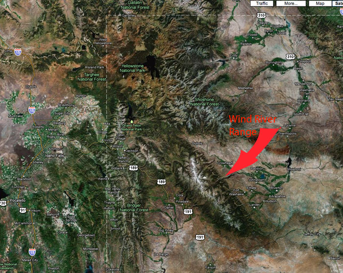
The Winds are a relatively unknown Rocky Mountain range that gets little visitation compared to the Grand Tetons, its smaller sibling located about 100 miles to the northwest of the winds. The Wind Rivers are located on National Forest land and there are no large highways that cross it or even come close to the photogenic parts of this mountain range. They look like a large brown lump in the distance when viewed from US-189, which parallels the range about forty miles to the west. These factors account for its relative obscurity. I think it may be one of the prettiest places in the US Rockies. But since you can’t drive a car to any of that beauty, it remains unspoiled and infrequently visited. Here is a google map showing the northwest corner of Wyoming with the location of the Wind River Range annotated. You can see that it is a much larger range than the Tetons:
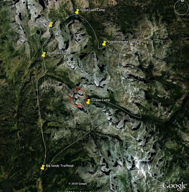
The hike we decided to take is located in the southern part of the range. The trailhead is one of the most popular launching points for this part of the range and usually has anywhere from 50 to 100 cars in the parking area. But because of the large land area and numerous trails, it is rare to see more than half a dozen people a day on any of the trails once you get out of the immediate area of the trailhead. Here is a google map showing the approximate location of the loop we decided to hike:
Day 1 - Big Sandy trailhead to Skull Lake
The first part of the hike was a relatively easy ten mile trek from the trailhead to Skull Lake. This part of the hike involves mostly rolling terrain through a series of meadows that parallel the higher parts of the mountains just to the east of the trail:
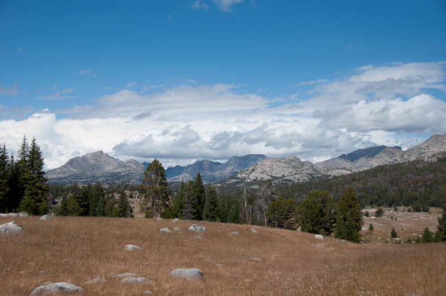
We had pretty good weather for the first few hours of the hike, and the picture above makes it look relatively innocuous. However, about two hours after this picture was taken, we had to sit out a fierce electrical storm in a small group of trees that seemed to offer the best protection from any nastiness from the lightning.
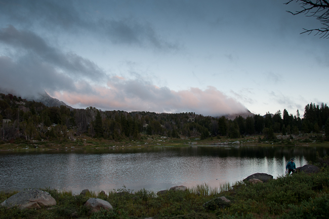
After a good soaking, we arrived at our destination for the first night at Skull Lake and were treated to a beautiful evening sunset. Here is a picture of Doug near the lake as the sun was going down. He is the silhouetted figure on the right of the photo. This is also when we discovered that the pump on my water filter had failed. (Note to myself and any other hikers: check your equipment before leaving the house!). This meant we were going to carefully choose water sources on the trail and boil less trustworthy water sources the rest of the trip. I hoped our stove fuel would be sufficient to prepare food and sterilize all the lake water we would need to drink on the trip.
Day 2 - Skull Lake to Grave Lake
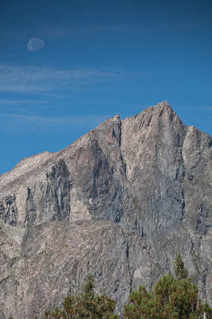
This day dawned sunny and we were able to pack all of our tents and gear completely dry. Our goal today was to make the pull over the Continental Divide via Hailey Pass and then continue down the other side to camp at Grave Lake. So far, all of our campsites had ominous names! We had been over Hailey Pass about seven years ago, and my recollection was that it was a very windy place. We took the left hand fork of the trail at Maes Lake and headed up toward the pass. A waning moon was setting over Ambush Peak, and presented a nice opportunity to take this picture:
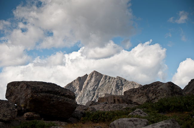
Did I mention windy? It began to appear that our previous experience was no anomaly. The prevailing winds this time of year are from the southwest, and the configuration of these mountains appear to form a natural venturi. The higher we got, the more intense the wind became. I took this picture crouching on the lee side of a some talus blocks looking back toward Ambush Peak:
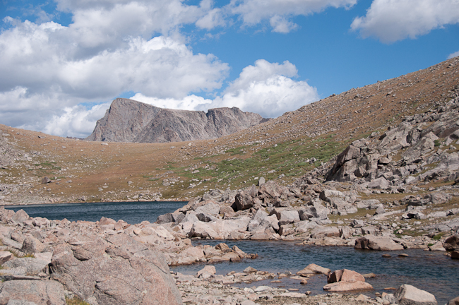
The closer we got to the top of Hailey Pass, the more crazy the wind situation became. By the time we reached a pair of small lakes named Twin Lakes just below the pass, the wind was easily over 50 miles per hour and gusting to 75. I have been in some intense wind on Mount Washington in New Hampshire and been through four hurricanes here on the Gulf Coast, and this was approaching hurricane velocity.
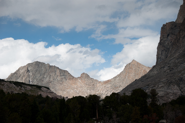
When we reached the actual top of the pass, the wind was scary. My combined body weight and pack was about 200 pounds, and twice I was lifted completely off my feet by a gust of wind and dumped on my butt. Needless to say, we slowly and carefully made our way down the very steep scree on the north side of the pass and worked our way down the east flank of Pyramid Peak and Mt Hooker. As we got lower, the wind velocity gradually dissipated. I felt safe enough to take this picture looking west toward Tower Peak and Glissade Peak:
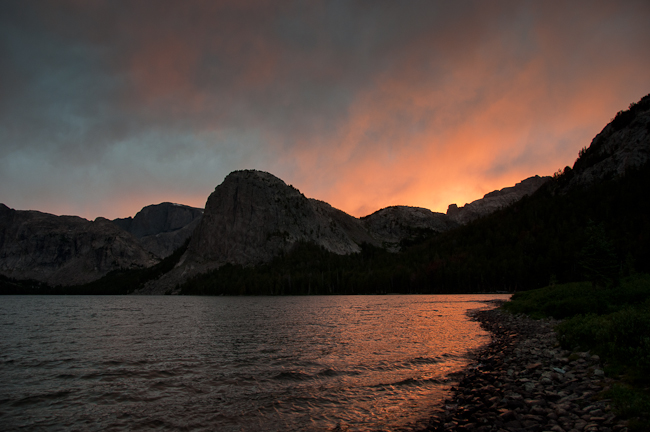
We made camp about halfway along Grave Lake and were treated to an amazing sunset looking back toward Mount Hooker.
Day 3 - Grave Lake to Valentine Lake
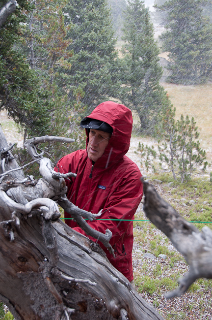
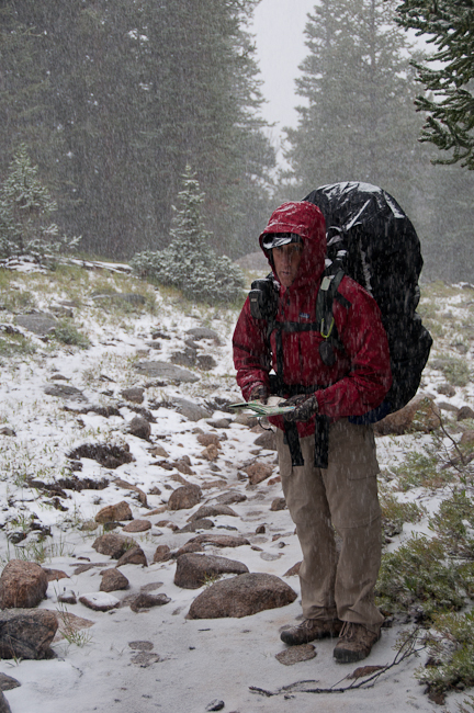
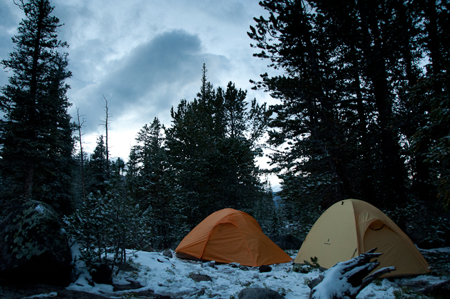
This day began with low clouds and gusty winds. We began hiking after breakfast, and the first snow flurries began. At first, the precipitation consisted of snow pellets, or graupel. We hiked the rest of way around Grave Lake and over the small mountain separating it from the South Fork of the Little Wind River valley. We turned south down the valley and the snow increased. After perusing the map, we decided to drop our packs and hike about two miles up the Washakie Pass trail to get access to some streams that were sourced high in the mountains and very unlikely to contain sheep-shit-induced giardia bacteria. We had seen some bear tracks, so we thought it would be a good idea to remove our food from the packs and hang it in a tree for the time we were on this side hike. The snow became more intense while we did this:
We got to the stream we had located on the map and filled our water bottles. We met a nice couple coming down the east side of Washakie pass, and their description did not make it sound any more appealing than the Hailey Pass we had negotiated the day before. We hiked back to our packs, stowed the food and began the hike toward Valentine Lake. The snow and wind began to increase. The trail crossed the South Fork of Little Wind River. The river was not terribly deep, but the water was up slightly and was wide. I had fallen in this creek trying to boulder hop a few years ago, and I decided that getting wet socks and boots in the middle of a snowstorm did not sound terribly appealing. I remembered that the hideous looking, but lightweight Crocs I had brought as camp shoes had decent traction, so I removed my boots and socks and stowed them safely in my pack. I rolled up my pants and waded the creek. I put my socks and boots back on after crossing the creek. I tied the Crocs to rock and hurled them back across the creek to Doug so he could cross the same way. Here is a video of Doug crossing the river:
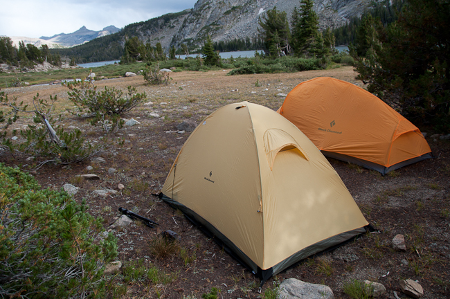
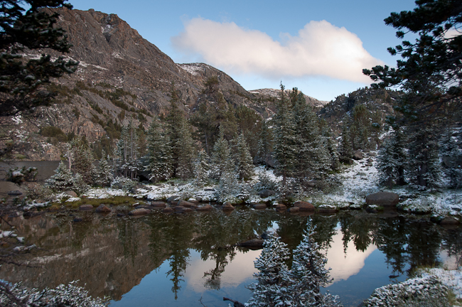
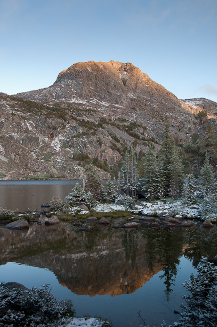
We hiked uphill from the creek toward Valentine Lake. The snow continued to fall and the visibility was poor. The lake is not visible from the trail, and we had to carefully look for an outlet stream from the lake crossing the trail as our sign that we needed to head south through the trees to find the lake. We found it and were able to find a small but usable campsite near the lake. The weather cleared up long enough to take a few good pictures, and then the snow began again. We got one more break in the snow that allowed us to cook our dinner.
Day 4 - Valentine Lake to Cirque of the Towers
We woke up to clear skies and cold temperatures. Fortunately, we were able to pack up most of our gear with very little moisture on it and after breakfast began the big hike over the Lizard Head Trail. This section of trail is about 8 miles of hiking that is all above 11,500 feet and well above timberline. This was certainly the diciest section of the hike because of the extended exposure above timberline. It would definitely not be a good place to be stuck during an electrical storm. As it turned out, we got to the pass and the weather was very cold and windy, but we had no snow and no lightning, so we had to tell ourselves that 25 degrees and 25 mile per hour winds was a good alternative.
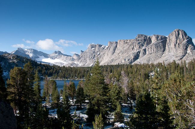
The view from this trail is spectacular. The wide open nature of the trail allowed us to peer west into the high peaks of the Wind Rivers and beyond into the plains. Here is a view on the trail up to the Lizard Head Trail looking down at Valentine Lake:
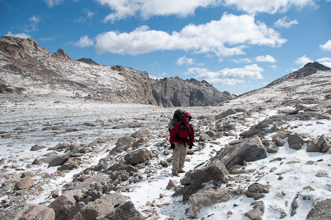
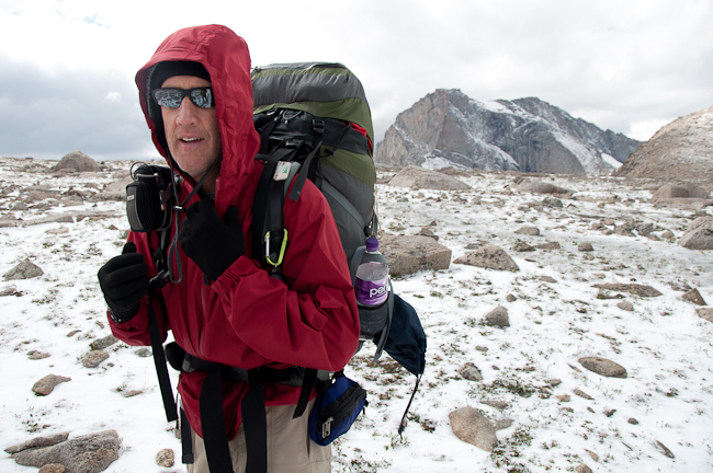
Low temperatures and wind make dressing warmly a must:
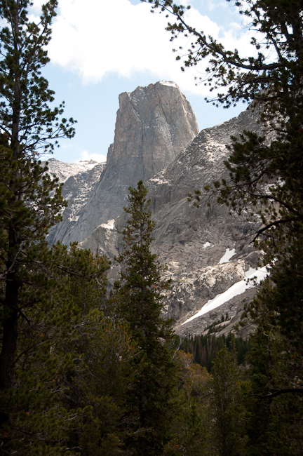
After a few hours hiking, we started down the very steep and loose trail toward Lizard Head Meadows, which is in the valley formed by the North Popo Agie River. We hiked up this valley toward Lonesome Lake and the Cirque of the Towers. We were able to catch a glimpse of Dog Tooth Spire through the trees as we descended back below timberline:
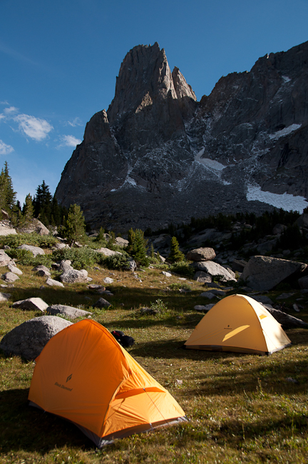
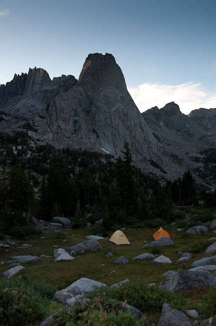
We ended our day with another climb up into the high valley that sits above Lonesome Lake and below the spectacular peaks of the Cirque. We pitched our tents in beautiful meadow below Warbonnnet Peak:
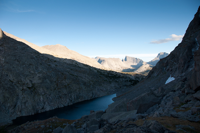
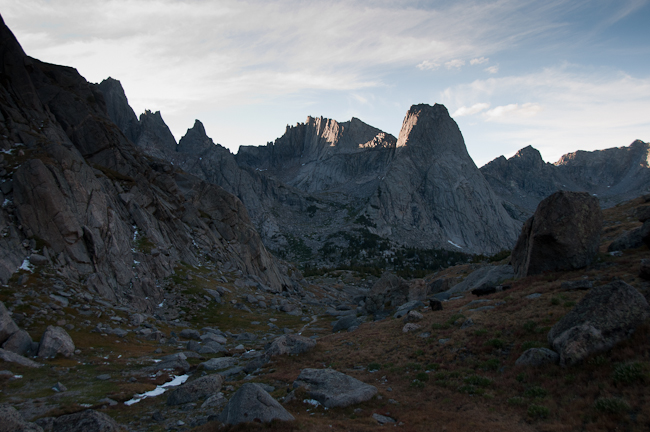
After dinner, we walked up to Jackass Pass to take some pictures in the long light of evening:
Day 5 - Leaving the Cirque for the trailhead
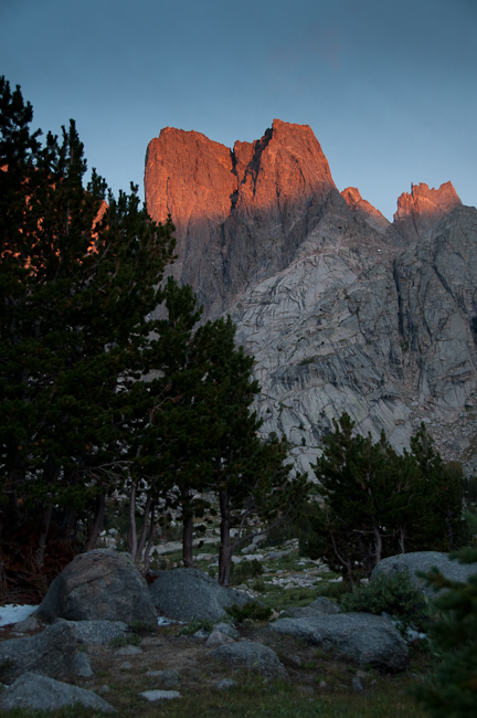
We awoke to a clear cold day with the morning alpenglow hitting the top of Watchtower:
We took the shortcut across Jackass Pass and boulder hopped around the west side of Arrowhead Lake. We were almost out of food and begin to envision the cold beer waiting for us back in town. We raced down the pass to Big Sandy Lake and then knocked off the last six mile slog from the Lake back to the trailhead in short order. As we began the drive over the 35-40 miles of dirt road back toward Pinedale, we looked back on the range from 20 miles away:
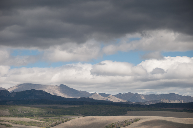
The beer was very good.
